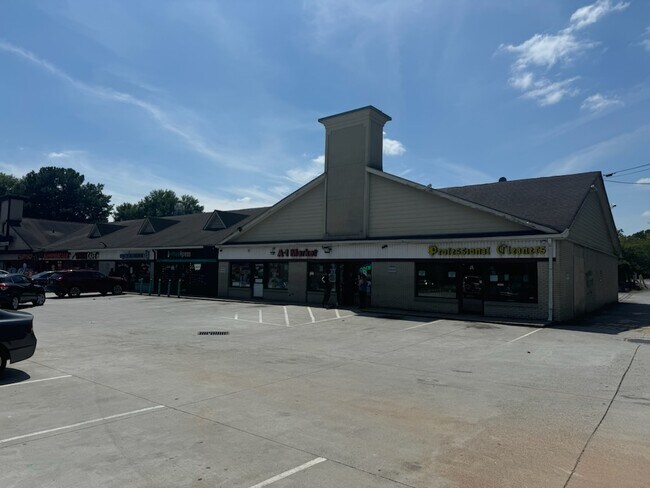
Property Record
3330 Peachtree Corners Cir, Peachtree Corners, GA 30092


NEARBY LISTINGS FOR SALE OR LEASE
Property Detail
3330 Peachtree Corners Cir
Atlanta-Sandy Springs-Roswell, GA
Peachtree
6-281-038
PEACHTREE CORNERS CIR
Stripcommercialcenter
Gwinnett
X
Georgia
13089C0010K
276
0
2.52 AC
2025
Norcross/Peachtree
050332
Atlanta
19,240 SF
DEMOGRAPHICS near 3330 Peachtree Corners Cir
1 Mile
3 Mile
5 Mile
2024 Total Population
12,917
74,931
240,066
2029 Population
13,351
76,740
244,614
Pop Growth 2024-2029
+ 3.36%
+ 2.41%
+ 1.89%
Average Age
33
37
37
2024 Total Households
5,793
28,644
90,795
HH Growth 2024-2029
+ 3.38%
+ 2.45%
+ 1.84%
Median Household Inc
$46,106
$63,341
$71,887
Avg Household Size
2.20
2.60
2.60
2024 Avg HH Vehicles
1.00
2.00
2.00
Median Home Value
$246,313
$411,849
$418,259
Median Year Built
1985
1984
1985
Nearby Places
Map Layers
Map Styles
 Street
 Aerial
- Restaurants
- Banks
- Shops
- Fitness
- Groceries
PUBLIC TRANSPORTATION
AIRPORT
Hartsfield - Jackson Atlanta International
DRIVE
WALK
Distance
Hartsfield - Jackson Atlanta International
42 min
28.9 mi
Freight Ports
Georgia Ports - Savannah
DRIVE
WALK
Distance
Georgia Ports - Savannah
297 min
264.0 mi
SALE & LEASE HISTORY
LISTING DATE
SALE/LEASE

Sep 24, 2016
For Sale
Oct 03, 2024
For Lease
Nearby Properties
Address
Land Use
TOTAL SIZE
Lot Size
Zoning
Address
Land Use
TOTAL SIZE
Lot Size
Zoning
599,105 SF
9.13 AC
M1
Address
Land Use
TOTAL SIZE
Lot Size
Zoning
103,056 SF
8.66 AC
OI
Address
Land Use
TOTAL SIZE
Lot Size
Zoning
524,000 SF
44.93 AC
RM
Address
Land Use
TOTAL SIZE
Lot Size
Zoning
545,074 SF
53.40 AC
RM8
Address
Land Use
TOTAL SIZE
Lot Size
Zoning
286,481 SF
20.06 AC
M1
Address
Land Use
TOTAL SIZE
Lot Size
Zoning
358,622 SF
31.01 AC
RM13
Address
Land Use
TOTAL SIZE
Lot Size
Zoning
231,192 SF
12.88 AC
RM13
Address
Land Use
TOTAL SIZE
Lot Size
Zoning
303,866 SF
20.13 AC
RM
Address
Land Use
TOTAL SIZE
Lot Size
Zoning
424,948 SF
39.03 AC
RM13
Address
Land Use
TOTAL SIZE
Lot Size
Zoning
250,886 SF
22.93 AC
RM13
Address
Land Use
TOTAL SIZE
Lot Size
Zoning
483,279 SF
8.27 AC
BH
Address
Land Use
TOTAL SIZE
Lot Size
Zoning
475,389 SF
5.37 AC
NX
Address
Land Use
TOTAL SIZE
Lot Size
Zoning
297,057 SF
25 AC
X
Address
Land Use
TOTAL SIZE
Lot Size
Zoning
249,766 SF
25.34 AC
RM100
Address
Land Use
TOTAL SIZE
Lot Size
Zoning
459,745 SF
50.72 AC
RM10
Address
Land Use
TOTAL SIZE
Lot Size
Zoning
420,576 SF
27.06 AC
M2
Address
Land Use
TOTAL SIZE
Lot Size
Zoning
255,398 SF
12.45 AC
MUR
Address
Land Use
TOTAL SIZE
Lot Size
Zoning
291,110 SF
22.10 AC
X
Address
Land Use
TOTAL SIZE
Lot Size
Zoning
454,220 SF
30 AC
M1
Address
Land Use
TOTAL SIZE
Lot Size
Zoning
332,669 SF
27.29 AC
RM100
Address
Land Use
TOTAL SIZE
Lot Size
Zoning
220,915 SF
2.38 AC
HX
Address
Land Use
TOTAL SIZE
Lot Size
Zoning
720,051 SF
99.46 AC
MUR
Address
Land Use
TOTAL SIZE
Lot Size
Zoning
408,205 SF
37.19 AC
RM100
Address
Land Use
TOTAL SIZE
Lot Size
Zoning
390,776 SF
43.96 AC
RM8
Address
Land Use
TOTAL SIZE
Lot Size
Zoning
225,314 SF
68.32 AC
OI
Address
Land Use
TOTAL SIZE
Lot Size
Zoning
781,705 SF
60.29 AC
M1
Address
Land Use
TOTAL SIZE
Lot Size
Zoning
205,850 SF
24.63 AC
RM10
Address
Land Use
TOTAL SIZE
Lot Size
Zoning
204,333 SF
39.43 AC
RM10
Address
Land Use
TOTAL SIZE
Lot Size
Zoning
243,954 SF
5.87 AC
X
Address
Land Use
TOTAL SIZE
Lot Size
Zoning
428,933 SF
50.01 AC
PRD
The World's #1 Commercial Real Estate Marketplace
Connect with us
© 2025 CoStar Group
The information above has been obtained from sources believed reliable. While we do not doubt its accuracy we have not verified it and make no guarantee, warranty or representation about it. It is your responsibility to independently confirm its accuracy and completeness. Any projections, opinions, assumptions, or estimates used are for example only and do not represent the current or future performance of the property. The value of this transaction to you depends on tax and other factors which should be evaluated by your tax, financial, and legal advisors. You and your advisors should conduct a careful, independent investigation of the property to determine to your satisfaction the suitability of the property for your needs.